Missouri River 340, July 23 – 26, 2024
Result
#2341 – Paddle Stop New Haven – Dragon Boat
58:36:28, 89th place overall, 1st in Dragon Division
Team: Jessica Chase, Ken Costello, Sheral DeVaughn, Lee Doty, Mark Fingerhut, James Kipper, Kirstin McEvoy, Brandon Nolte, Brett Swanstrom, Joan Twillman, Betty Welch, Anqi Dai, Jackie Halloran
Support: Sherri Terun, Ron Twillman, Chris DeVaughn
Pre-Race/Prep
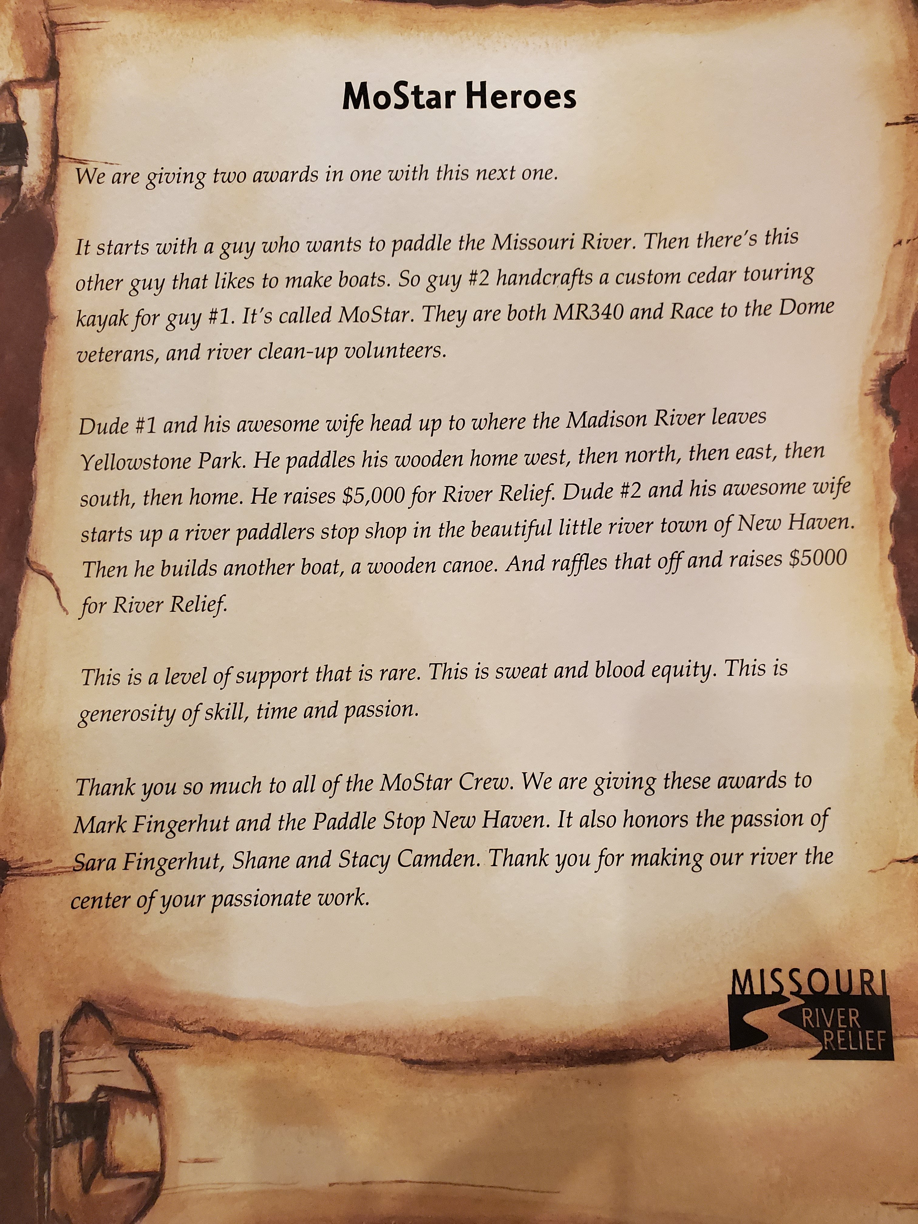
The origin of a 2024 Dragon boat run on the 340 started sometime last summer or fall, when my good buddy Shane at Paddle Stop New Haven mentioned he was thinking about building a new canoe. His first large canoe, the 24 ft Eliza Haycraft, competed with a crew of 10 in the 2021 340, in which I ran ground support. When he detailed out what he was thinking, an even bigger canoe with more capacity, my mind got moving pretty quickly.
For those not in the know, Shane is an artist when it comes to stand up boards, canoes, a single kayak, and other watercraft. I thought it was only right that if a new boat made its way into the world, the proper way to welcome it was a 340 mile race on the Missouri. Once Shane had a little more idea of the total capacity of the boat, I started recruiting.
However, I’ve found that before you ask someone to join this race in your boat, it’s pretty helpful to have an idea of what the experience is going to look like so they have all the facts. So a race result that looked like success to me was a competitive, thick-skinned and stubborn team, with the potential ability to nap/sleep in the boat since it was going to be huge, minimization of shore time and an ultimate ambitious goal of finishing in 50 to 55 hours.
I began with the 2021 Eliza crew and got the first 2 paddlers. Opened up the invite to my fellow Hash House Harriers, the drinking club with a running problem of which I am a practicing member and got a couple more. I then threw the invite out to the Creve Coeur Lake paddlers, a rowdy but competitive crew of STL locals, but didn’t find much interest there. Lastly, I posted an open invite on the MR340 page and was able to get near full capacity – a target of 14 heads in the boat. Fortunately, I had met and paddled with almost everyone in the boat, with the exception of 1 or 2.
In the months leading up to the race, I wanted to get the team (as many as possible) together for some practice/training runs. The way the roster worked out was a pretty even split of STL and KC-based paddlers with a couple from Oklahoma. In June, we gathered in New Haven then shuttled up to Mokane for a 40ish mile training run. The new dragon boat was still under construction, but we took the Eliza as a reasonable substitute. The day went very well. Paddling and speed was sufficient, but most importantly, the whole team met, got along, laughed and joked together and enjoyed the day. For a big group, many of who have never met, it’s hard to know what you’re going to get when the all get together. But my theory is anyone who would consider doing this thing called the MR340 has qualities and traits that allow them to get along with, and succeed with like-minded folks.
We did one more training run – which turned out to be the Meramec Marathon, a 29 mile run on the Meramec River outside St. Louis. We happened to be the very first dragon boat to ever compete in this race. We had the new, yet-to-be-named boat, and despite Shane’s concerns of low water conditions and risk of scraping the virgin cedar wood, all was good. The rudder allowed me as captain to line up the boat around sharp turns and bends, as well as shouting commands to the team to paddle on a particular side. I don’t believe we touched a rock that entire race and I was super happy with the boat, and the team once again. We were ready for the big race!
The last couple weeks leading up to the race was fairly harrowing in terms of personnel. We had 13 committed, I was happy with that, we could fit one more, but good enough. We lost one paddler after the Meramec race, so I reopened the call on the MR340 page. I was able to add 2 paddlers so back to a full 14!
Four days before the race, we lose 2 more. Oh crap. I was able to find one last paddler who registered two days before the race so we were back to a solid 13. I was quickly realizing that for a Dragon team, the hardest part of the race happens before one gets to the starting line. The rest is easy!
The Race
Most of the team gathered at Kaw Point for race check in, and we got the newly named boat “Twelve Volt Man” in the water and tied up. We did some team shopping then divided our gear and support needs among 3 support vehicles. Each vehicle was responsible for supporting 4 or 5 specific paddlers, just to avoid the chaos of having gear and items spread out all willy nilly.
I don’t have to mention how chaotic the pre-start was, try coordinating getting a team of 13, plus gear/supplies, plus 3 support vehicles to the start. Finally at about 7:30am, the team was gathered near the ramp. I asked some spectators by the river to move along so our team could stage, while I hopped in the boat and nosed it toward the ramp. Obviously, the ramp was a constant conga of boats getting into the water. Seeing a small gap after the Krakamaran got in, I aligned the front quarter of the boat on the bottom half of the ramp, then just started having the team throw me all their gear, loading back to front. I think we were fairly efficient, and we soon had everyone in and gear mostly situated.
With a few minutes to spare before the start, we leisurely drifted upstream, and I wished many of my friends good luck. My strategy at the start is to be as far left as possible and enter the Missouri at the very tip of the point. I want to always be the boat furthest left possible, not sure why, I think it’s about getting into the current as fast as possible. A couple unfortunate canoes managed to get to our left and began drifting right, into our path. We tried to announce our presence, but 3500 pounds vs. a couple hundred is no contest. We bumped and pushed them away like bugs off a windshield.
We settled into steady paddling, probably in the top third of the 8am starters. For spectators in the early part of the race, and then throughout, the spectacle of seeing the only dragon boat in the race is pretty special and we were rewarded time and again with hollers, cowbells, horns and other undulations.
Our race strategy going in, which I made sure to communicate early and often to potential and confirmed teammates was as such.
First day: quick stop at Waverly, (optional) quick stop at Miami, late night arrival in Glasgow. 2 or 3 hour shore time.
Second day: quick stop at Franklin, quick stop at Jeff City, arrival in Chamois. 2 or 3 hour shore time
Third day: quick stops if/where needed, finish late afternoon.
After our second training run, I realized having people recline/sleep in the boat was not really going to be possible. So minimal shore time, but with the ability to get a couple hours sleep was the plan.
The first day proved to be pretty spectacular weather, not insanely hot, a little breeze but not enough to affect our pace. The team was in good spirits, staying hydrated and fed, getting to know each other a bit better with lively conversation and jokes. And of course having a constant supply of fellow boaters overtaking us, or us overtaking them, made for endless opportunities to meet new people, and have them take in the spectacle that is the dragon experience.
We bypassed Lexington as planned and pulled into Waverly around 5:30, spent about 20 minutes resupplying food and water, bathrooms, etc. A note about our hydration: I left hydration up to each person – some hade camelbaks, some had bottles, then we had two 4 gallon jugs of ice water that we used to refill our personal supplies over the trip.
The team felt good and we made the decision to bypass Miami to push on to Glasgow. We all enjoyed the sunset and moonrise, as well as the occasional riverside party of locals there to cheer on our roving party. For seating arrangements, I generally left it to the team to figure out what works best for them. I am not a micromanaging captain. Occasionally, seat partners would switch sides to change the muscles they were paddling with, announcing their switch to the boat due to very short moments of instability. The other amazing advantage to this boat was for paddlers to stand up occasionally to stretch their legs and get a quick moment on their feet. As the captain, I was standing quite often, getting a better view of what’s coming. With a longer paddle, I was able to paddle while standing up, which was so nice.
Pulling into Glasgow just before 3:30am, I told the team I was going to wake up at 6 and if there was no fog, I’d rouse them and we’d get going. Our wonderful support had a few tarps laid out on the ground near the ramp, and we all quickly crashed out with our respective sleeping systems. I think I only manage to get a little over an hour of sleep. At 6, downstream of Glasgow looked like a pretty solid wall of fog, but I started waking up the team, through not at an urgent pace. I started shaking a sleeping, covered body within our team circle, only to have a face I didn’t know looking back at me. An interloper in our midst, sorry about that unknown paddler!
On the water by 7:30, the fog had all but lifted and we were quickly into Lisbon Bottoms. As a 7 timer in this race, I took the opportunity (wanted or not) to regale the team with previous race stories throughout the race, including the time a pair of sombrero’d gentleman managed to pin their canoe getting too close to the Lisbon chute and luckily survived that ordeal.
It really started heating up quickly, hotter than day 1. I encouraged the team to drink plenty, and pour river water over their heads, necks and torsos. As we approached Franklin Island, which we had planned to bypass, from the front of the boat I heard the last-minute request to stop. We pulled in and found out that Betty was feeling down. We helped her off the boat and into the shade to sit, and luckily she had a couple friends nearby to help her. In the meantime, the team took the time to grab a baked potato, and jump in the water to cool off. Betty was insistent that we keep moving without her, and I was insistent that we would wait, allow her to cool off and get back in once she felt better. After 10 minutes of not really solving anything, I made the decision that we’d proceed without Betty and she insisted that’s what she wanted, and she was good with it. Whatever time/place goals we had as a team was never as important as team health and finishing with a full crew, and I hope that wasn’t missed when I laid out our plans in the race leadup.
Betty and Jackie were two of our later additions to the boat, and have some pretty solid dragon boat experience. So I was super happy to have them, and they were valuable and stout additions to the team. But wearing only tank tops and no hats all day, exposed to the unrelenting sun, I just don’t get it! Wow. But Betty was truly one of our strongest paddlers in the boat and she was the MVP of our first 1.5 days out there.
We paddled on with 12, somewhat sluggishly to Rocheport, the gorgeous bluffs and the new bridge, harassing a couple workers as we passed. We planned to push straight to Jeff City, but taking inventory of our water, we decided to pull into Huntsdale to get a quick refill of our jugs. Big thanks to Huntsdale staff and random support crews for helping us out. Shortly after Huntsdale is where yours truly started to bonk. It was the lack of sleep that was catching up to me. I felt hydrated enough, I was peeing regularly, I didn’t feel overly hot and was eating enough. Just foggy mind, inability to keep my eyes open and extremely heavy limbs. I struggled to paddle and just concentrated on working the rudder pedals to keep us in the channel.
With 5 miles to go to Jeff City, I felt I was in danger of slumping over, so I grabbed our one of two 340 virgins, Brandon, and threw him in the captain chair. I gave him the general concept on where to keep the boat, then I closed my eyes for about 10 minutes. I woke up closed to the ramp and guided him on the line to take, cutting over at the last minute and hitting the big eddy. I get off the boat, up the beach and collapsed on a waiting tarp.
After about 20 minutes of struggling to sleep, I saw my friend Josh, who was operating the Morpheus mobile IV clinic during the race. I told him what was going on and he recommended a B12 shot. I took him up on it, looking for anything to help perk me up for the push to Chamois. The team took the opportunity to eat, refuel and a couple laid down for a quick nap. After about an hour, we got back in the boat to Chamois. My body started responding better, but felt my mind was still operating at about 60% capacity. I turned on the RaceOwl channel tracking app, which I have never used in my previous races, to basically allow my mind to solely focus on the small screen and keeping our boat lined up. I pushed myself to participate in various conversations on the boat to also keep my mind working and occupied. After about 3 hours, I felt I had full mind and body capacity once again. We hit Chamois at 12:30am.
We once again crashed on tarps under the nearby pavilion, folks ate, drank, a few showered then slumbered. I woke at 4:30am to assess the fog. While thick, I could see the opposite bank, so I started waking the team. For the second day in a row, I mistakenly woke up someone sleeping near our group that was not in fact, in our group. Hazards of being a dragon boat skipper #922. This time, though, he thanked me that I had gotten him up!
On the water at 5:30am, we quickly encountered the thickest fog of the race. Mr. Jon Marble saved our bacon once again, and I ran the channel tracker though about 4 hours of fog to Hermann. As a pretty experienced river guy, I understand the risk and the dangers of fog. I also take my responsibility as the leader of a team of 13 very seriously. Their safety and well being ultimately in my hands. So it was a calculated risk to paddle through the fog. I was aware of where the barges were (nowhere near us) and was pretty familiar with the stretch of river. I heard the lighted and rumbling water outlet for the Callaway nuclear plant on the river just down from Chamois. I know that did scare other paddlers who encountered that in the fog, and made them deviate their plan thinking it was a barge, but I knew exactly what it was and kept to the plan. Familiarity with the river and its features is something I take pride in and have acquired over many years and miles.
The fog saved us from seeing the Hermann bridge for 8 straight miles and we hooted and hollered at the early morning Hermann crowd as we passed. We made quick work of Berger Bend and reached our craft’s port of call in New Haven. A quick refueling stop and greeting from our boatmaker Shane had us primed for the home stretch. We blew by Washington at 1pm and planned to push all the way to the finish, the only exception being Klondike, but only if they had Klondike bars. Alas it wasn’t to be. Just past Klondike we heard distant thunder, some light drizzle, 2 barges with requisite wake, and a little headwind. We were loving every second of the changing conditions. Adrenaline was in full affect and we could smell the finish.
Sprits remained high, and we distracted ourselves with trash pickup! From a standing position, I’d survey the river ahead. If I spotted what was likely a piece of trash, I’d get us in line with it, then the first two rows of the boat would grab it and deposit into our stream team bags. Between our own trash and what we pulled out of the river, we filled two bags per day, six total! (Most interesting piece of garbage – a Ziploc bag of urine. Undetermined if it originated with a 340 participant.)
Coming under the second to last bridge, we were distracted by two friends of a few of us in the boat who cheered us on in varying stages of undress from up on the shore. We didn’t begin our finishing sprint until well after the final bridge, I would have preferred to start earlier, but the team was near spent. We kicked it in to the finish, unbeknownst to us a drone captured our final looping sprint in.
Instant chaos on shore, medals, trophies, beers, the team scatters, hugs and photos, the usual post-race high. Still had the task for finding a place to tie up our trusty craft on the shore, and the thigh deep mud I missed throughout the race was there to greet me as I tied him up.
In Closing
My first dragon experience was just incredible. I’ve done this race tandem 4x, solo 2x, and now dragon. The added element of team camaraderie, the laughing and singing, conversation and interactivity during the race nearly outweighs the logistics of organizing all aspects of the team and herding the cats. Don’t get me wrong, this was a great group of people, extremely solid paddlers and go with the flow/adapt and overcome personalities. Time will tell if I ever undertake such an endeavor again, but this was a truly special experience.
Massive thank you to the entire team who took a chance to be a part of a special experience. And to our support/ground crew – thanks for being there for us, putting up with our whims and for being absolutely flexible, when it wasn’t hard to do so.
Massive thank you to Missouri River Relief, all the staff and volunteers without whom this would never be possible, Scott Mansker for dreaming this up, to all my fellow paddlers and support who took a minute to say hi along the way. I absolutely love this river community, and this week always fills my soul.
Thanks for reading, see you on the river.
mf