
August 23 – 29, 2026
Quick and Dirty Recap:
Day 1: Anacortes, WA – Sunset Beach to James Island
Day 2: James Island to Spencer Spit to Blind Island (Shaw Island)
Day 3: Shaw Island Circumnavigation
Day 4: Blind Island to Jones Island
Day 5: Jones Island to Turn Island
Day 6: Turn Island to Turn Point County Park
Day 7: (Personal solo paddle day: Sunset Beach around Burrows Island to Cabana Park)
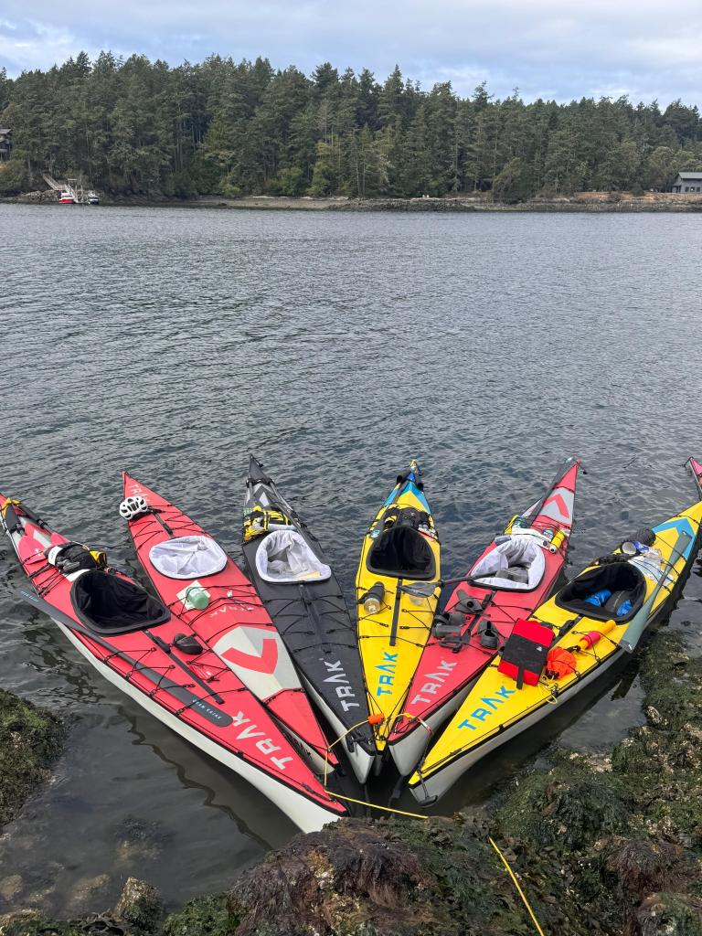
A couple years ago, I saw a social media post about Trak Kayaks, a collapsible yet legit sea kayak, and they were looking for ambassadors for their boats. Basically, the deal was to acquire one of their boats at a discounted price, then act as sort of a regional source for anyone interested in their boats to meet up, try out the boat and potentially purchase it if they like it. I talked on the phone with a couple of good people at Trak, told them about our vibrant midwestern paddling community then dove in as an ambassador – a Trak Pilot.
Fast forward a bit and I’ve paddled this really nice boat on our local rivers, even racing in a very rocky Bourbeuse Bluebell Race, scraping rocks along the way. I was impressed how well a sea kayak with a skin held up to a proper Ozark stream. But what I had not yet done is what the real selling point of these boats is – to pack it up into its checked bag-sized roller duffel, fly across the country or the world with it and paddle on a proper ocean, which is really what these boats are made for. Trak organizes meetups and trips all over the world, from the Pacific Northwest to Baja, Central America, Patagonia, Europe, Asia and tons of other places.
So this summer, as a vacation from full time river guiding with Big Muddy, I naturally chose to take a week away to paddle. Caleb at Trak highly recommended I check out the trip to the San Juan Islands, just off the coast of Washington state just north of Seattle. Caleb raved about Alex Lalonde, the primary guide for the trip, as well as the opportunity to learn the ins and outs of coastal kayaking in a beautiful but relatively calmer environment than the open sea. I signed up and booked the flights.
The trip was a 6 day, 5 night expedition, with a group paddling Trak kayaks from island to island within the San Juans, camping on islands every night, pretty much a self-supported trip. I have fortunately had the opportunity to undertake this format of paddling down the Missouri and Mississippi Rivers, but never on salt water – not quite the open sea but ocean paddling nonetheless. I was very excited to learn much more about things that the oceans have that the big rivers don’t – tides, currents, fetch, surf and tons of little nuances you get with ocean paddling.
I packed my gear – my Trak kayak along with some of my paddling gear into the Trak bag then had another rollaboard for clothes and camping gear. I ended up paying a fair amount for the bags and the extra weight, but I learned a valuable lesson from my friend Todd who flew in from Cleveland for the trip: check to see if a higher class ticket, like business, includes baggage, because it might be cheaper to fly business with some big heavy bags than to pick the cheapest ticket and pay extra out the arse for the bags.
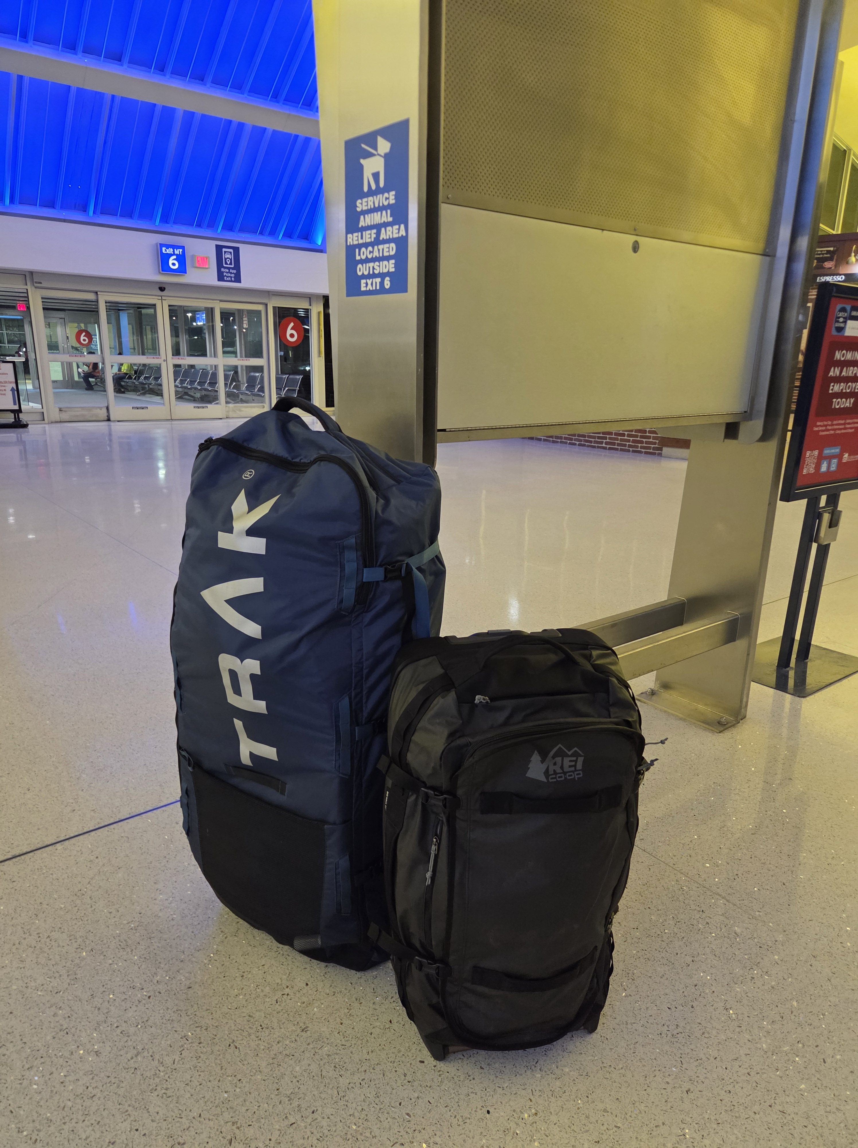
Flight to Seattle was smooth, then I hucked my bags to the Link train outside the airport and took the train north to just outside Edmonds, WA. Another trip participant, Rebecca, graciously offered to host me at her and her husband’s beautiful house overlooking Edmonds harbor before making the trip up to the San Juans the next morning. I spent the evening talking with Rebecca and Richard, with Rebecca telling me about her pretty industrious and widely-travelled paddling career. She’s been a Trak kayak owner since nearly the beginning of the company, 20+ years.
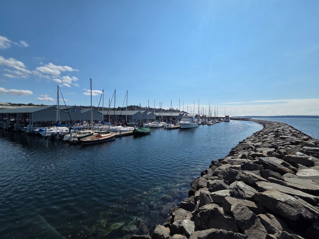
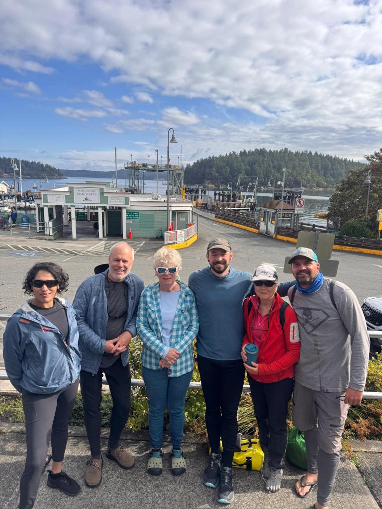
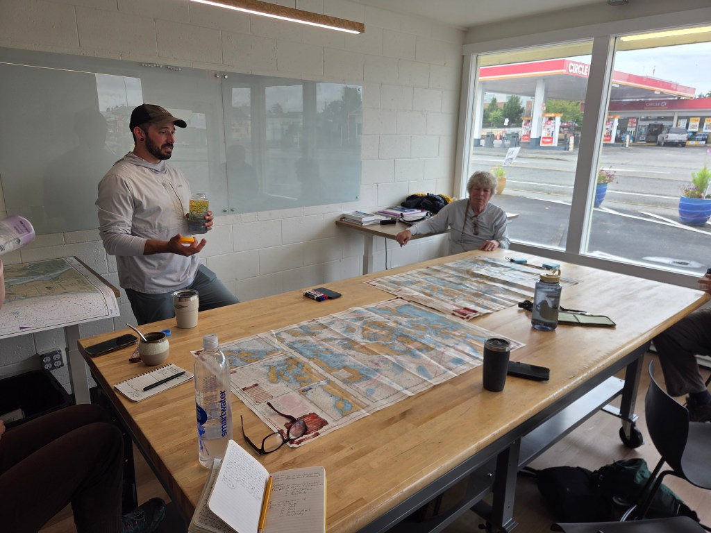
The next morning we hopped in Rebecca and Richard’s super nice RV and headed up to Anacortes, WA where we’d meet the rest of the trip paddlers and our guides. We walked into Body, Boat, Blade kayak shop and met our guides for the week Alex and Sasha. The other trip participants trickled in: Marilyn from Detroit, David from Chicago, Florence from Vancouver, Todd from Cleveland. Over the next couple hours, Alex laid out the trip, presenting us with different options for routes, gave us a crash course on ocean conditions, tides and currents specific to the San Juan islands and taught us some of the core terminology for ocean paddling.
After lunch, we went to Alex’s house to put together our boats, packed our gear in our boats, and assessed how much room we had to spare to fit shared gear and food for the group for the week of paddling. Some of the crew had experience with Trak, others were just renting or trying out the boat for the week. I was pleasantly surprised with how little room my own personal gear took up, allowing me to throw some extra group gear in the boat.
Rebecca drove me to a campsite for the night, which was conveniently where we’d be putting in the next morning. Hammock sleeping in the mid-50 degree temps under gorgeous northwest evergreens was absolutely divine after a summer of blazing STL temperatures.
Day 1
I was up early the next morning and walked my boat down to the beach and started assembling my boat and gear as the rest of the group trickled in. Our target was to depart by 10am to catch the slack tide for a 5 mile crossing from Sunset Beach in Anacortes to James Island across the Rosario Strait. I was packed up pretty quickly, but some of the others took some time in getting their gear packed and into their boats. I learned another lesson right then, that just because I was settled with my gear and boat didn’t mean the job was done. We had to work as a team this week, to ensure everyone was prepped, ready to hit the water when we needed to, according to the tides. Missing a targeted departure time on the ocean can have consequences, which we were about to find out.
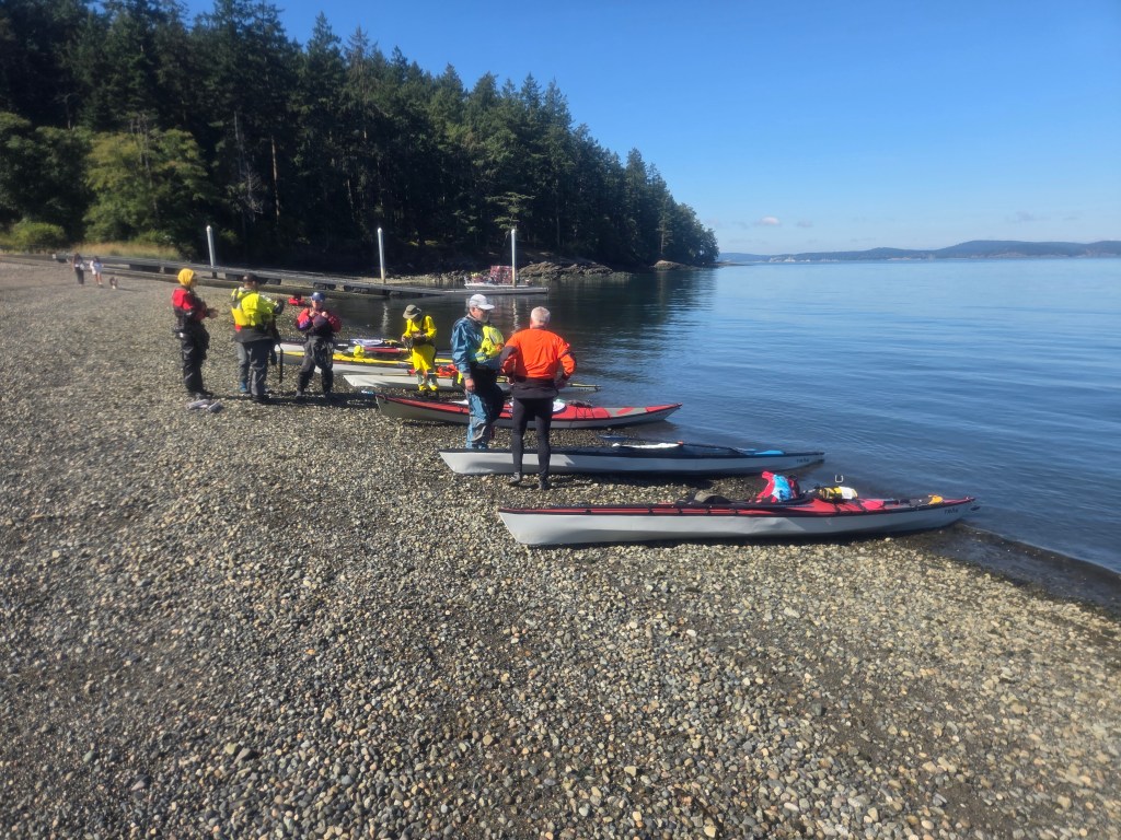
We departed the beach around 10:45, and David had an unfortunate flip which delayed us a bit further. Now our crossing was going to be in a flooding tide instead of slack, which meant paddling angled against the current to ensure we’d hit James Island.
Luckily, the conditions were pretty mellow, low winds and little boat traffic. We spotted some Porpoises surfacing in the distance and were about halfway across when David flipped again. Alex and Sasha quickly helped him back into his boat, but in the effort, David was pretty exhausted. Alex had Marilyn tie up next to David for stability, then Alex and Sasha took turns towing those two into the current the rest of the way to James – a superhuman effort. Myself, Rebecca, Todd and Florence paddled ahead and landed on James before Alex and Sasha came in with Marilyn and David in tow.
We had lunch on the beach then headed up the steep slope to pitch our camp for the night. After we were settled, myself, Todd, Florence and Alex did a late afternoon circumnavigation of James Island, only about 2.5 miles. I spotted a bike helmet floating in the kelp and I actually hauled it with me the rest of the week and flew home with it! Nothing like ocean treasure. I set up my hammock on a beautiful spot overlooking our beach and had a very enjoyable night sleep.
Day 2
There must have been some wildfire smoke moving in, because I opened my eyes in my hammock to an absolutely brilliant sunrise over the Rosario Strait. After some coffee and standard breakfast of potato and egg hash, we packed up and started to load our boats for the day’s journey: cross to Spencer Spit for lunch, then on to Blind Island for the night.
As our group got onto the water, David continued to experience instability in his kayak. After huddling with Alex and Sasha, David decided to end his trip early. Alex called a local water taxi to come retrieve David and his boat/gear as the rest of the group departed. Absolutely no shame in knowing when to pack it in, revisit gear and skills and attack the opportunity for a future adventure. Nice paddling and adventuring with you, David.
Our group crossed through the gap between Blakely and Decatur Islands then crossed another calm channel to Spencer Spit, a really nice state park, where we chowed on our standard lunch of artisan crackers, summer sausage, cheese, avocado and tuna packets with tortillas. We also had the chance to refill our shared water dromedaries at a spigot. Leaving Spencer Spit, we got up close and personal with a curious seal, his heading sticking out above the water taking a look at us weirdos. The wildfire smoke was somewhat thick at times, and there wasn’t much of a breeze until we crossed around the northern tip of Lopez Island and got some decent southern wind-caused waves as we crossed over to Shaw Island. I pulled over on a small gravel beach for some relief and spotted a tooth just under the water – turns out it was likely a seal tooth!
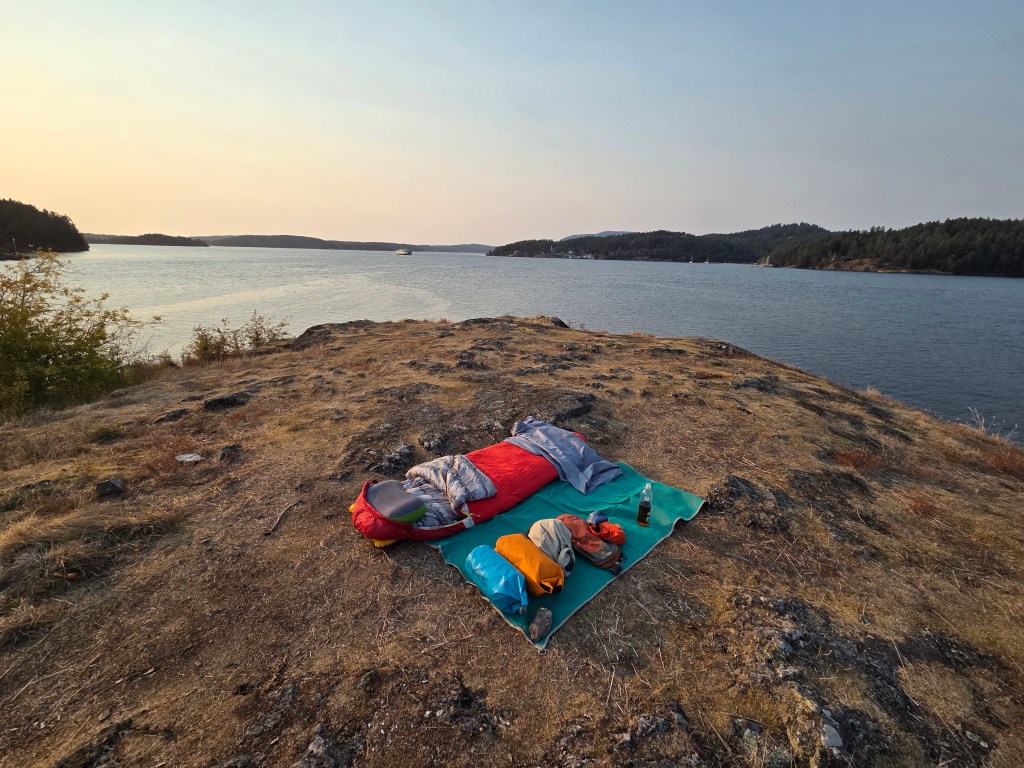
We paddled into Blind Bay then across to Blind Island, where we encountered another kayak trip of high school kids camping for the night. But plenty of room on this small island for us, Sasha knew the guides for the other trip. We unpacked, moved the boats up to higher ground, then prepped our camps before gathering for dinner. With very few trees on the island for hammock camping, I laid out my sand mat and got ready for open-sky cowboy camping at the most elevated point on the island with spectacular views of the surrounding islands and ferries landing and departing at Shaw and Orcas.
After dinner, Alex and Sasha proposed for the next day that we keep our camp at Blind Island for a second night, then paddle our unloaded boats around the entirety for Shaw Island, a challenging 15 mile route in varying currents and conditions. The prospect of unloaded boats and skipping the camp breakdown and setup was very appealing for our group. I laid down in my million-star sleeping accommodations for the night.
Day 3
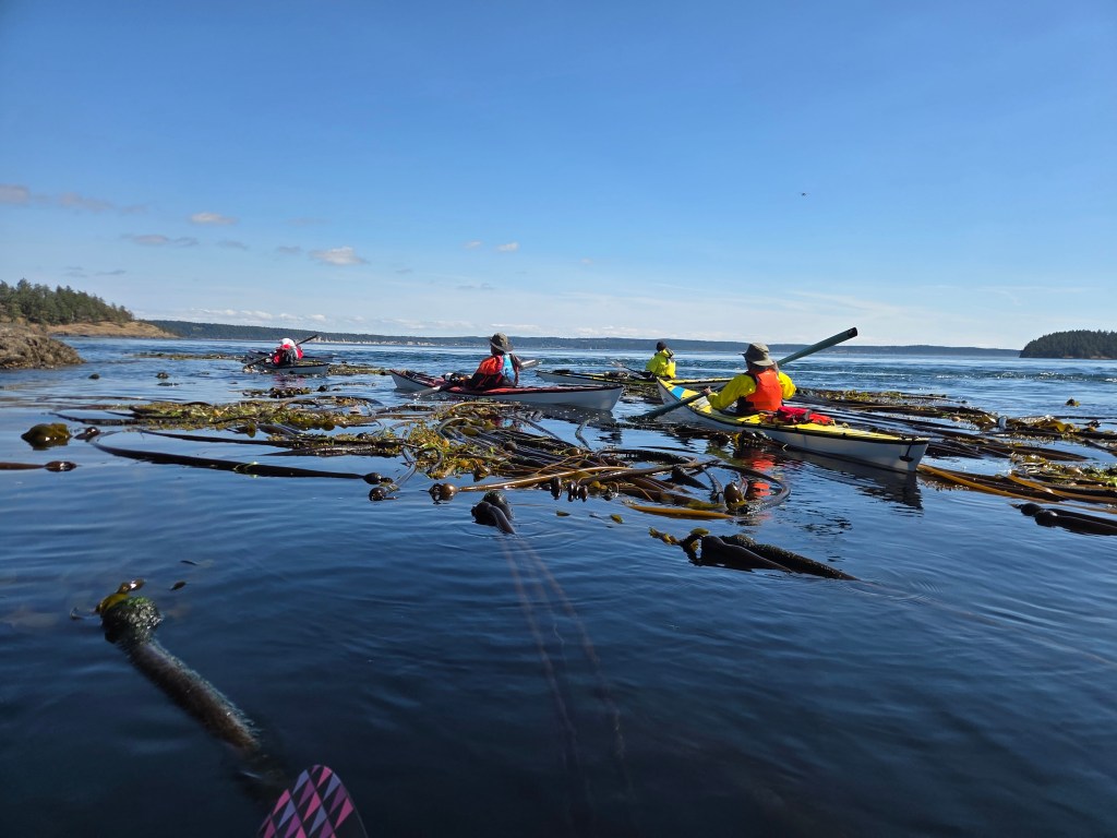
This would be the longest day mileage-wise but probably my favorite of the whole week. We left Blind Island around 10am with light, unloaded boats. We took off around Shaw Island counterclockwise, first going with the flooding tide until we made the turn into the San Juan Channel where we were going against the current. Luckily, Alex had taught us the importance of catching eddies, a concept I’m very familiar with on rivers, but quite applicable in marine environments as well. Basically, we kept pretty close to the shoreline, and with the irregularity of land features on the coast, we can sort of hide in the shadow created by the current hitting these features and avoid paddling directly into a strong current.
At one point, I looked out across the mile-wide San Juan Channel flowing with the flooding tide and other than the water clarity, very much resembled a strongly flowing Missouri or Mississippi. We also had to paddle up and over a riffle where the channel narrowed forcing the current to be constricted, a nice little adrenaline rush.
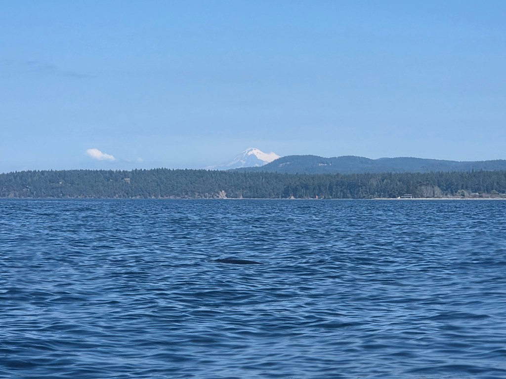
As we turned around the bottom of Shaw Island, I looked up and saw a snow-capped Mt. Baker in the distance. We’d been surrounded by beautiful mountains all week, but this is the first time we’ve been able to see one of the snow-capped peaks of the Cascade Range. Combine this with some pretty nice tailwind in this section, which allowed me to try a little downwind surfing in my Trak, it was an amazing homestretch for the day. We made our way back to Blind Island after a quick pitstop at the general store at the Shaw Ferry terminal for refreshments.
After another delicious dinner (all our dinners were prepared by Alex and Sasha out of ingredients that generally don’t require refrigeration: rice, pasta, dehydrated or fresh veggies, vegetarian friendly proteins, canned chicken, etc. – every meal was delicious!), Alex asked us to plan the next day’s route to our next island camp on Jones Island. We huddled over a map, discussed different routes and considered the tides, currents, wind and other factors we’d learned to take into account so far in the week. Pretty empowering to immediately apply things you are learning to help plan the next leg of the trip, rather than simply following what our leader is dictating. We ran our plan by Alex and Sasha and other than a few comments or suggestions, our plan was not too shabby.
Day 4
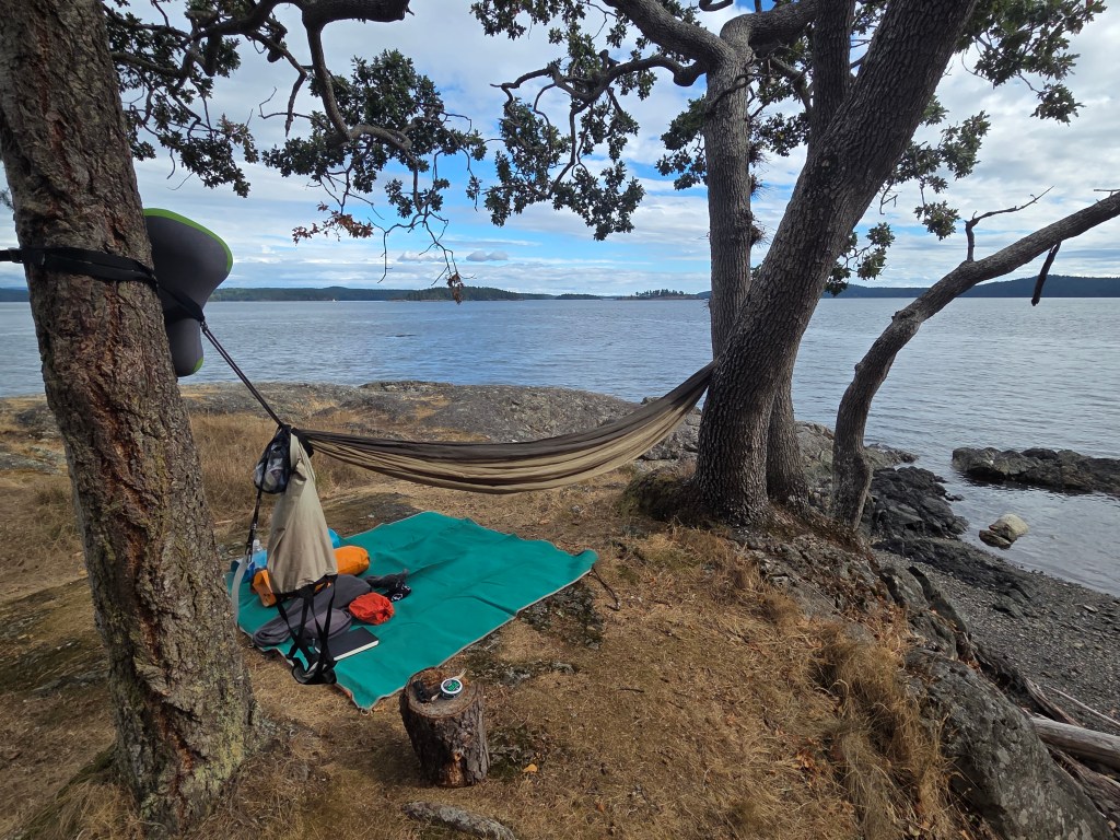
A pretty short and relaxing day compared to yesterday’s 15 mile circumnavigation, we headed west and passed through the narrow passage between Crane and Orcas Island into Deer Harbor. Stopped on a rocky beach for lunch before proceeding around a peninsula edged by beautiful homes perched on the rocky bluffs, then a short crossing to Jones Island. With an early afternoon arrival, plenty of time to set up camp, dry out wet gear, hike around the island to take in the incredible views (including distant mountains of Canada!), catch a nap and generally relax.
We gathered for dinner and discussed the plan for the next day, which would be our last full day of paddling. Not much planning needed for this route, as we had a pretty straight shot southeast down the San Juan Channel past Friday Harbor to Turn Island. The only challenge would be finding the ideal time and location to make the crossing of the wide channel, again taking into account the tide, current, boat traffic, wind and waves.
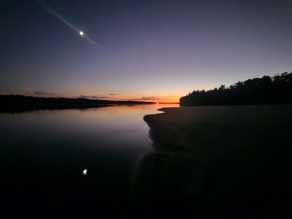
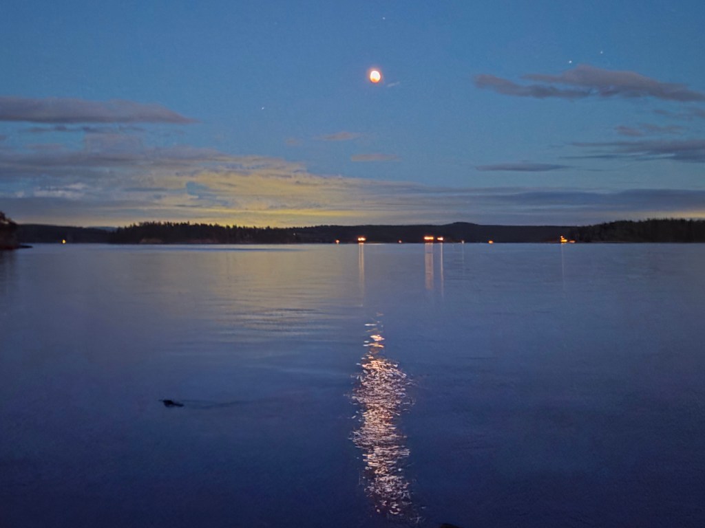
Walking back to my hammock camp after dinner, I noticed a two-toned moon, first thinking it was being partially obscured by clouds. I quickly realized there was some sort of eclipse going on, and confirmed it by looking it up on my phone. A curious seal swam right by in the reflection of the eclipse. Nature was really putting on a show this week, and I was there for all of it!
Day 5
Provided we departed early-ish, by 9am or so, we’d be hitting the ebbing tide which we could ride down the San Juan Channel to Turn Island. We were all pros at packing by now, and it didn’t hurt that our food supply packs were getting lighter by the day. We launched and crossed over to Yellow Island before beginning our crossing of the channel. Alex had prepped us for this by introducing us to using compasses to establish a bearing on a long crossing, and making adjustments along the way. I tried to follow the decided upon bearing using a borrowed compass, but as we got into open water, the south wind hitting the opposing ebbing tide kicked up some small but challenging waves so I didn’t have the ability to keep checking the compass.
The group worked together to maintain our bearing and made a good crossing, getting into the shelter of the San Juan Island shoreline. I noticed that there was a lot of water inside my boat, and after pulling into a sandbar, realized a crack in the coaming of my kayak was letting in water every time a wave broke over the top of my boat. I emptied the water and was relieved this problem was presenting itself at the end of the trip vs. the beginning. We continued along the beautiful shoreline, crossed the busy channel into Friday Harbor, then over to Turn Island, our last camp of the trip.
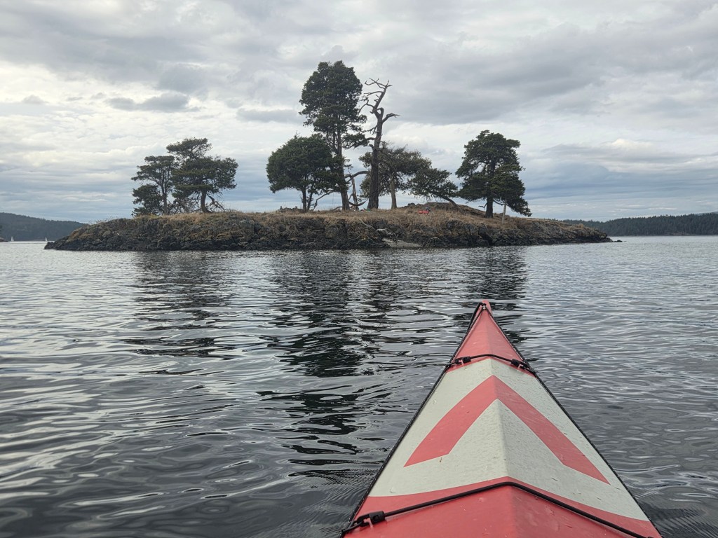
I spotted a small island off the shore of Turn and opted to set up my camp on my own private island for the night. At low tide, I was able to walk through a foot of water to get to it, but later in the day, I had to paddle my boat back and forth to camp. Before dinner, I opted to paddle around a couple of surrounding islands with Sasha and Florence, but didn’t make it all the way around due to the rushing flooding tide. All of us in the group were aware there was a chance of rain that night, fortunately the first precipitation of the week. I had avoided setting up my tent the entire week to the point, either hammock camping or cowboy camping directly on the ground. So I stubbornly kept the tent in the bag as I crawled into my hammock for the night on my private island.
Sometime around 2 or 2:30am, it started to rain, softly at first then becoming steadier. I grabbed a tarp I had and draped it over the top of my hammock and that seemed to work great. I snoozed a bit more. Around 4am or so, I awoke to a cold, wet back, as the rain ran down the tree trunk my hammock was strapped to, then across the strap down into my back area, soaking my sleeping bag and clothes. I thought at first I might be able to sleep through it, but after starting to shiver, figured I needed to do something. I hopped up and very quickly set up my tent, dove in and put on a set of dry clothes I had in a dry bag. It was still cold, but better than soaking wet. I managed to sleep a couple more hours before getting up and packing up some very wet gear.
Day 6
The final day of the trip was the shortest. All we had to do was pack up, paddle about 200 yards across the water to the access of Turn Point County Park. Alex had arranged for his van to be parked nearby. We would unload all of our gear, disassemble our boats and load all of it, and us, into the van for the ferry ride from Friday Harbor back to Anacortes. Just another amazing selling point of this Trak boat: We fit 6 kayaks, 6 people, gear and kit for those 6 people for a 6 day trip into a 12 passenger van. It was tight but it totally worked!
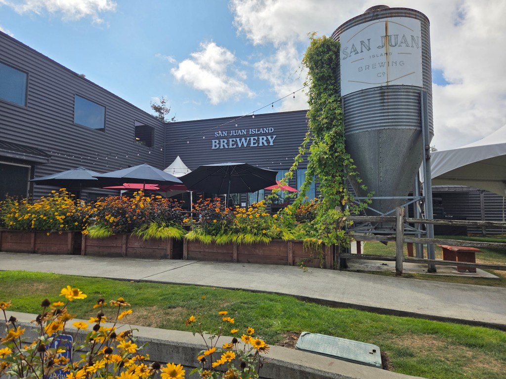
We headed back to Friday Harbor, where the weekend rush presented us with about a 4 hour wait to get on the ferry. I leisurely strolled around the very pretty town, eventually and unsurprisingly ending up at the San Juan Islands Brewery for a few cold beers and time to recollect and record an amazing week on the water. Alex and Sasha joined me for a bit and it was so awesome to hang out with them post trip to get their thoughts on the trip and all things outdoors and expeditions.
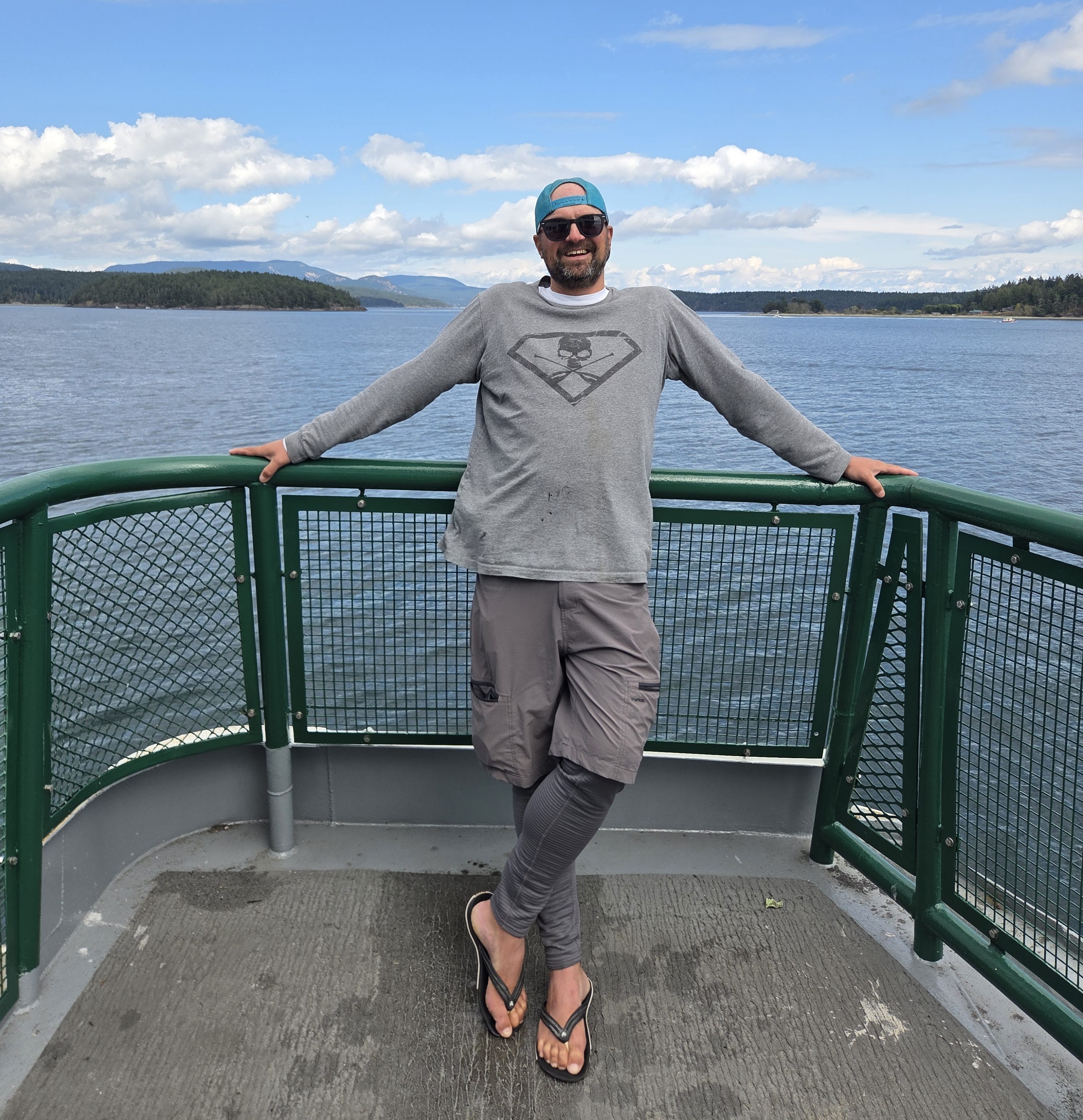
We hopped on the ferry back to Anacortes and most of us spent the time out on the deck in the brilliant sun and steady breeze, seeing all the islands we camped on and all the channels we crossed throughout the week. 6 days to get to our finish, 1.5 hours to get back to the start.
Back in Anacortes, we went back to Alex’s house to unpack all our gear, dry things out once again and prepare to travel back to our respective homes in a somewhat civilized manner. We said a few goodbyes to folks in our group, then Alex, myself, Marilyn and Todd went to a local dive for dinner and drinks, along with Leo, also of Body, Boat, Blade and his lady friend. Again, great to spend time informally debriefing from a trip to really bring perspective and appreciation for the experience.
I can’t say enough about Alex and Sasha’s guidance and leadership on this trip. We were a group of paddlers with widely varying levels of experience, only one of whom had significant coastal paddling experience, also with widely varying levels of personality, and Alex and Sasha guided the trip professionally, effectively and to maximum satisfaction for myself and others on the trip.
After the trip, I was asked by someone if I felt fulfilled. I had to say no, not really. I don’t feel like this trip was a culmination, but rather a small taste or preview of what kind of adventuring I might consider in the future. The Trak boat really opens up some interesting opportunities worldwide. I am already scheming, thinking about and planning the next one. Time will tell where I might be able to go. But a huge thank you to Alex and Sasha, Body Boat Blade, and Trak Kayaks for putting on this amazing trip!
mf