Days 2 & 3: Quake Lake, Portage and the Madison

Yesterday started pretty early. I packed up camp at the marina, then liesurely paddled the last two miles of Hebgen Lake while enjoying a day old egg and sausage bagel. Near the dam that is the reason Hebgen Lake exists, I pulled my boat out, unloaded all my gear, put the boat onto my C-Tug cart, pulled the boat up a rocky slope to a gravel parking area, then loaded all my stuff back in it. (No this won’t be the first time I do this today…)

My google map scouting told me I should be able to roll my boat about a mile down the road to a campground where I could put back in. After 500 feet of downhill rolling, the wheels on the cart started screeching like a banshee. This can’t be good. I took the boat off the cart, disassembeled it and examined the wheels. Sure enough, the weight and pressure on the axles was causing some of the plastic to get scratched and worn down. I wasn’t going to make it very far at all with this development. In my best McGyver impression, I pulled out the vaseline I had packed for the purpose of relieving paddling induced chafing throughout the trip and generously applied a coat to the axle. Back on the road without even a squeak! Fantastic.

I made it to the campsite and the appropriately named Ghost Village Road. The road parallels the Madison as it enters Earthquake Lake and looking across, sure enough there were a few old dilapidated houses, abandoned after the earthquake of 1959. I could put my boat in here, but there were some pretty hefty rapids and boulders in the water. I walked about a mile ahead, scouting a way through. My mind went back and forth; should I put in and risk it? Should I painfully portage another mile and play it safe? After a quick bite for lunch, I decided to go for it. I put in the rushing water and made it about 200 yards, I didn’t really hit anything and wasn’t in danger, but I felt like I wouldn’t be able to 100% control the fully loaded boat safely down these rapids. I was able to pull out, unload all my gear, mount the boat, then reload all my gear. Second time.

I got back in the water at the upper end of Earthquake Lake, not before hitting a rut and rolling my boat and cart over on its side, much to the amusement of some onlooking fly-fisherpeople. Earthquake Lake formed when a 7.5 quake hit in 1959, the largest quake to ever hit the Rocky Mountains. The ensuing landslide killed 28 campers at the height of summer tourist season, and dammed the Madison River. Engineers eventually cut a new pathway for the water to escape before the lake became too full, thus averting even more catastrophe downstream. One effect of such a relatively young lake is that the lake is full of dead tree trunks. It was very eerie paddling through dead forests, while keeping an eye on the water for what could be a disaster waiting to happen if I did hit a submerged trunk. The first 1/3 of the lake was calm and enjoyable. Then the wind came up. I paddled the last 2/3s of the lake, probably 8 miles, into a 30 to 40mph headwind. The waves were large and I really had to put some effort into it to make any progress.

I finally made it to the end of the lake. The take out is conveniently located about 10 yards upstream from where the lake gets funneled into the narrow man-made channel, which leads to about 3 miles of boat crushing, and often fatal class 5 rapids. I was pretty terrified of getting too close to the suction, so I stopped well short of the spot, then pulled my boat with a rope along shore til I got to the take out. What should have been relief turned to more bad news, as google maps failed to show the 150 – 200 ft elevation change to get back up to the road from the take out. Portage sequence, queue the music. Unload boat, load on cart, haul gear up the hill, haul boat up the hill. Repeat. Ugh. I finally made it up to the road exhausted, and was really crossing my fingers someone would stop and offer to load everything on their car for the ride down the mountain. It didn’t happen. Not all too bad though, this was a pretty steep decline down into the valley past the crazy class 5 section of the river. I stopped two more times to apply a fresh coat of vaseline lube to the cart, and to let it cool down as to not overheat the critical components. My plan had been to portage everything about 3.5 miles to another put-in on the free-flowing Madison. Luckily, as I got to the bottom of the hill, about 2.5 miles into my portage, I saw an oasis and my stop for the night – the Slide Inn. I quickly got a campsite, a couple beers and made my first dehydrated meal in the rain. Back in my tent, I cracked open my journal to record the day’s events, only to pretty much fall right asleep due to the exhaustion from the day.

Today, I was up early and after speaking to the staff at the Slide Inn, recommended for me to put in the Madison about 3 more miles downstream from where I had planned. They told me there were quite a few rocks and rough spots still and with my boat, I should play it safe. Who am I to disagree? A fly-fishing guide Wyatt helped me load the boat onto the roof of his truck and hauled me, my gear and the MOstar down to the Pine Butte put in. I quickly unloaded and reloaded and was off at around 11am. It’s now 6:30 and I’ve been off the water for about an hour after making about 32 miles today. The river was fast, rough, with just enough boulders that I had to keep my head on a swivel the entire day. Luckily, I didn’t hit anything major, the rudder only got stuck once resulting in me having to jump out waist deep into the cold water to unjam it. It was a little cold and rainy later in the day, but I’m sitting comfortably in camp typing this so all in all, a pretty darn good day. Just got a message that Sara made it home safely after a 24 hour return trip, so very thankful there as well.

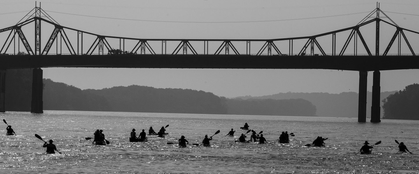
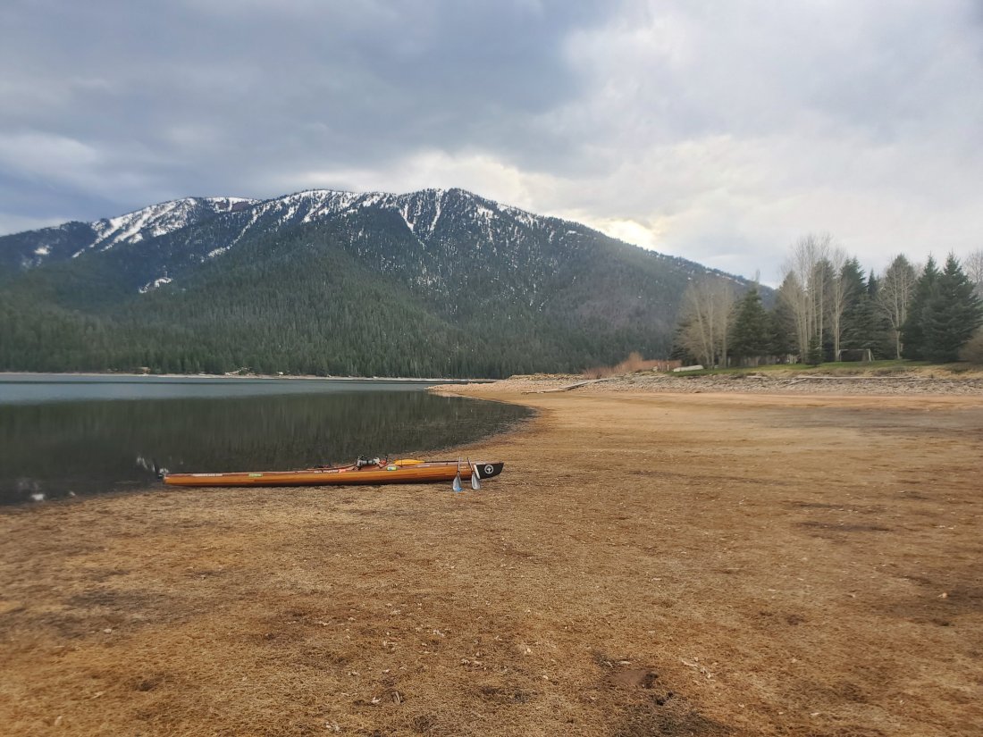
Instead of posting photos of the past two day’s events, I uploaded quite a few shots to my Instagram. They roughly correspond to yesterday’s and today’s events, sorry I can’t be bothered to integrate them into my narrative. As always, please enjoy.

mf

Day 1 – Hebgen Lake

It’s the end of the first day on the river. I’m tucked into a dirt beach next to the Kirkwood Marina on the lower end of Hebgen Lake. What a time to be alive when I can have cel service while camped at a mountain lake in between two large mountain ranges.I made it about 16.5 miles today, first mile or two on the Madison as it exited Yellowstone then the rest on the lake. Other than a brief pop up shower with some wind which forced me to the bank, the weather was excellent, mostly sunny and in the upper 60s and 70s. Sara dropped me just upriver from the rte 191 bridge near the town of West Yellowstone. A young fly fisherman was surprised to be witness to the start of the journey and obliged us by snapping a photo. My gear was mostly packed and organized, so I was fairly quickly able to get everything loaded. We said our goodbyes and soon enough, I was paddling.Some key takeaways and learnings today:

  • Gear storage and organization will be a work in progress. For example, I had to scramble to locate rain gear when it started raining so that process will need to be more efficient.
  • I got the feel for sticking to the sheltered side of the lake to stay out of strong winds and big waves. This will be an ongoing theme throughout the trip.
  • I managed a couple crossings of the lake, being quite far from shore, yet completely comfortable and in control. Timber Longboard’s boat was incredible and I am extremely happy with its performance on the first day. It really moves when I want it to.
  • I made 16.5 miles in about 5 hours, most of it on non-moving water. So I know I will be fully capable of cranking out high mileage days on this trip. I will have to continue to remind myself to take it easy, enjoy the ride, stop and explore. The MR340 racing mindset is going to have to go by the wayside.
  • I got my first experience navigating a braided channel, where a river dumps into a lake. It’s like a maze and you have to pick the correct channel or you end up stuck in sand or mud. I managed to do that twice today, but luckily was able to jump out of the boat and pull it a few feet over to deeper water.
  • The indescribable beauty of an alpine lake surrounded by snow covered peaks was just as amazing as it sounds. Pictures hardly do it justice, so I tried to just take it all in.

Tomorrow will be interesting. I’ll paddle the remaining mile on Hebgen to the dam, after which I’ll load the kayak on my cart and portage her about a mile along a two lane state highway to the put in on earthquake lake. I am somewhat disappointed, as I found or from a couple locals that the Earthquake Lake museum and visitor’s center doesn’t open until memorial day. I was really looking forward to learning more about the tragic 1959 quake that killed about 30 campers and accidentally created the lake through which i’ll be paddling tomorrow.Bonus funny story from today: I’ve been in touch with another long distance paddler, Ellen Falterman. She did the entire Missouri River two years ago and is doing the Mississippi this summer. On the drive up this morning, she messaged me a picture of the Mississippi headwaters and said, “where you at?” A little confused, I responded, Montana, on my way to the Madison river. Apparently we’re are starting our journeys on the same day, just a few thousand miles apart, to her surprise.mf

The Journey Starts on the Madison

The Missouri River starts where the Gallatin, Madison and Jefferson rivers come together in Three Forks, Montana. Brower’s Spring (44°33’02″N 111°28’20″W) is considered the ultimate source of the Missouri River. That is basically considered the furthest point from which water flows which ultimately ends up in the Missouri River. It is 300 river miles upstream from Three Forks. Those who want to say they’ve paddled the entire Missouri from the ultimate source paddle from Brower’s Spring. Many others begin their journey where the Missouri actually starts, in Three Forks. I chose to start on the Madison River.

Why? I think it’s for a few reasons:

In fall of 2017, Sara and I had the chance to honeymoon in the western US, and explored Yellowstone for a few days. We did the obligatory photo op at Old Faithful and strolled along the paths near there where the geysers and boiling springs dumped into the Firehole River. As soon as I could, I dove into google maps and started tracing where that water goes. The Firehole River dumps into the Madison in Yellowstone a few miles to the west of Old Faithful. 100 miles down the Madison to Three Forks. So yeah, the same water that shoots into the sky from Old Faithful ends up passing in front of the Arch in St. Louis. Pretty awesome! While I cannot legally paddle the Firehole River or the Madison River in Yellowstone National Park, I can start at the park border on the Madison.

Another reason I chose to start on the Madison is because not many other people do. In talking to some experts on Missouri River expeditions, a few have started on the Madison but the great majority start at Three Forks, or further up the Jefferson. The more I researched the Madison, the more confident I became in my choice. It is a world class fishing river, very popular with fly fishermen. It has some fast-flowing water and some pretty challenging rapids – up to class V – but these areas are able to be portaged by a touring kayak unequipped to hit much whitewater.

The lower stretch of the Madison River is a popular place floaters like to go for leisurely summer days. There are some larger lakes on the upper Madison – Ennis Lake, Hebgen Lake and Earthquake lake, which was actually formed when a landslide triggered by a 7.5 earthquake in 1959 plugged up the Madison. Unfortunately, 28 people died in the disaster and there is a visitor center that I look forward to visiting. There are opportunities to camp and various spots along the river as well as a couple small towns to grab a bite or last minute supplies. I expect to take 6 or 7 days to descend the Madison to Three Forks, putting in at the head of Hebgen Lake just outside West Yellowstone – right around here (4°42’46.6″N 111°05’50.2″W).

mf