Yesterday’s experience of paddling with a couple buddies, then having the chance to somewhat randomly meet up with two old river pals, along with sharing my story with some local Cape Giardans in a pub on Sunday night, really filled my soul. I love days like that on the river. I draw energy from those days when you have a day like today.
Not a bad day at all, in fact a pretty good day, just a lot different from the warmth of yesterday. Started out cloudy with some drizzling here and there, but I made my way out of Cape amid the morning barge rush. I soon passed Thebes, IL, then set my sights on a pin I’d marked on my google map. A few years ago, a friend showed me a picture he took of a petroglyph that illustrated several rivers and confluences, carved into a massive boulder. An ancient Native American map for past river travelers. I was intrigued and my friend guarded its location closely. After enough pestering, I finally got him to tell me where it is, him knowing I’m an avid river traveller and will also keep its location secret.
I pulled into where I thought it looked promising, then explored the boulders strewn around the banks. I scoured each stone, looking for carvings or figures. Finally, I thought I found it – it certainly looked like a system of rivers and tributaries.

After I departed and had reception again, I sent my buddy the picture – and apparently it was not it. Alas, more adventures to be had in the future. But just having this petroglyph exist causes me to acknowledge what a tiny drop of water I am in this massive river that’s been flowing for thousands of years. The river I am seeing today bears no resemblance to the river even 100 years ago, it’s constantly changing, despite the Army Corps’ best efforts. People have been travelling this river for thousands of years, yes even before it was “discovered” by Hernan DeSoto in 1542. Me and the loopers aren’t really novelties doing long distances on the Mississippi, it’s been done, like for forever. And a map carved into a boulder proves it.
Anyway, I churned out a few more miles through the afternoon, passing and being passed by quite a few barges and loopers. Cloudy, intermittent drizzle and headwinds seemed to prevail most of the day. At one point, I was paddling to the Northwest, with Illinois on my left, and Missouri on my right. The river is pretty crooked like that.
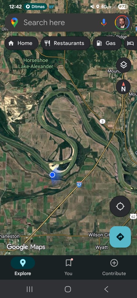
Later in the day, slogging along and getting pretty hungry, I passed under the I-57 bridge, then set up camp after a couple more miles, just north of the confluence with the Ohio – mile 3 of the upper Mississippi if you’re keeping score at home. About 46 miles on the day.
Tomorrow, I’ll take on the confluence, where the Ohio more than doubles the volume of the Mississippi. Today was the first day of this trip that I paddled new-to-me river!

mf
